Victorian Landcare Magazine - Winter 2022, Issue 84
The threats facing Australia’s flora and fauna are increasingly complex and require a suite of innovative solutions. After the 2019–20 Black Summer bushfires swept through 24 million hectares of Australia, it was clear that any conservation work done in these areas would need to centre on the communities at the heart of the disaster – which is where mobile applications (apps) come in.
iNaturalist sorts projects by region, taxa and user demographic
Using a Landcare Led Bushfire Recovery Grant we used iNaturalist, an online social network for sharing biodiversity information, and Epicollect5, a free web and mobile application for simple data collection, to create a toolkit for conservationists, researchers and citizen scientists.
iNaturalist is an effective way for communities to provide records of species in their local area.
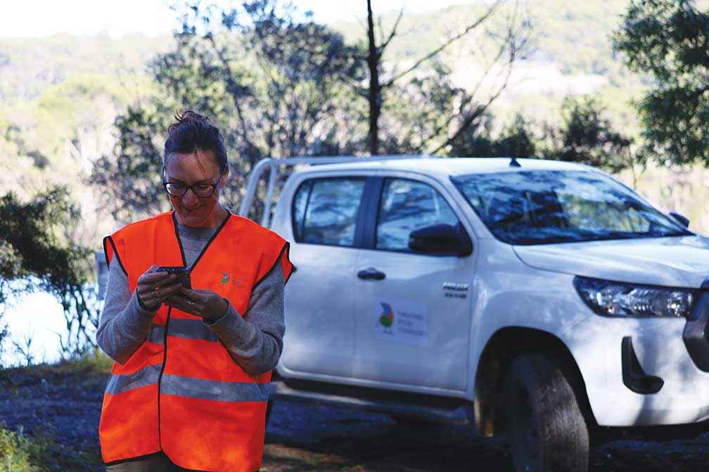
Above: Volunteer Kirsten Boehm, an aspiring lepidopterist, looks over the project methods at the Mallacoota training day on Bidawal Country in 2021.
Mallacoota locals have been using it to record flora and fauna before and after bushfires. Users can join projects in their region, select their taxa of interest or their own demographic. I’ve enjoyed being part of the LGBTQ+ Naturalists project and I recommend joining this project if you are part of the LGBTQIA+ community.
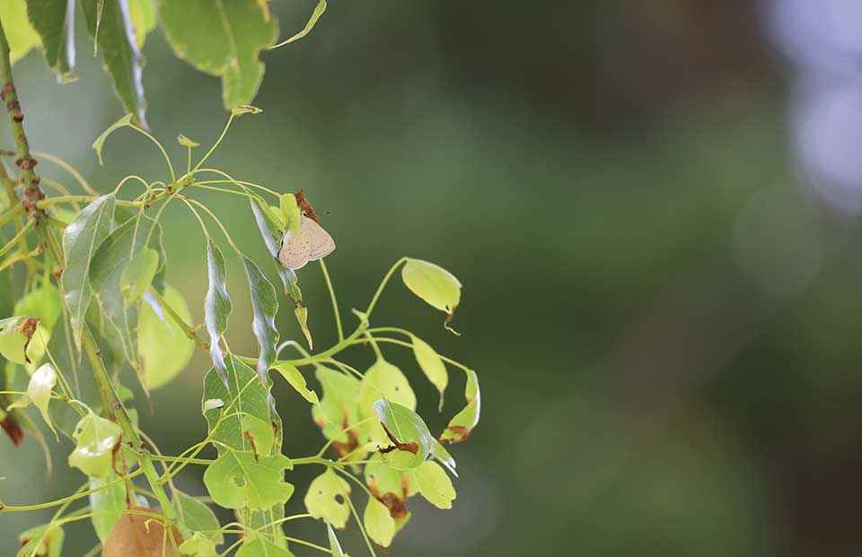
Creating a project on iNaturalist is simple. Our project collected butterfly records from across East Gippsland. Whenever a butterfly was recorded in the area it was attached to our project. We could discuss exciting findings with the user who uploaded the record, as well as letting interested people know how the project was tracking.
Epicollect5 was built and developed by Oxford University for researchers to collect and collate data in the field. Anyone can create a project and build a data collection form on the university website, and then use their mobile device to collect the data.
The form builder is user friendly, and the data output is easy to feed into an analysis software or to share with the communities you are working with. There’s a nifty map function in the online site so you can see how many surveys you have done, or how many nest boxes you have installed/checked, or how many frogs you have seen. The possibilities are endless.
Multiple people can use your Epicollect5 data collection form at one time. This makes simultaneous fieldwork effortless. Data is immediately uploaded to the project database so project managers can see where data is being collected in real time and who is collecting. There is no delay in being able to analyse and interpret data.
Similar apps for taxa specific surveys are now emerging across Australia. The Butterflies Australia app developed by the Australian National University allows butterfly enthusiasts to do their own independent surveys and contribute to a national butterfly database. The app has an incredible field guide.
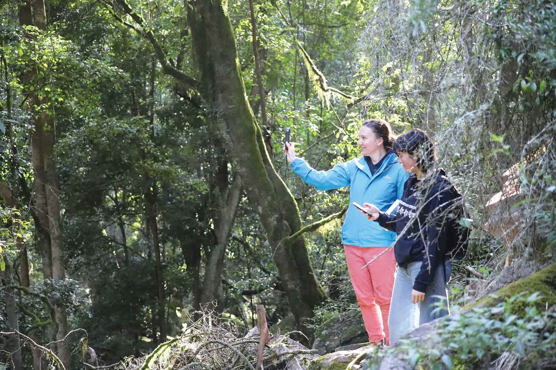
Above: Using mobiles in the field at the Den of Nargun on Brayakaulung Country.
An app that replaces paper forms
The TSC has also been testing the ProofSafe app on our western Victoria projects with support from the Parks Victoria Innovation fund. ProofSafe is an app for mobile phones or tablets. It provides forms for entering tree data in the field, records locations by GPS and stores images and notes.
The TSC is aiming to replace all of its internal paper forms with forms on ProofSafe to manage event and volunteer sign up, information collation, asset management, scheduling for staff rosters, field trips and data collection.
Having all of our forms in one place for staff and volunteers to access freely will encourage more staff autonomy. We can easily replicate the forms for emerging projects.
The shift away from paper data collection to apps can be daunting. When you put so much time into fieldwork you need to be able to trust your collection method.
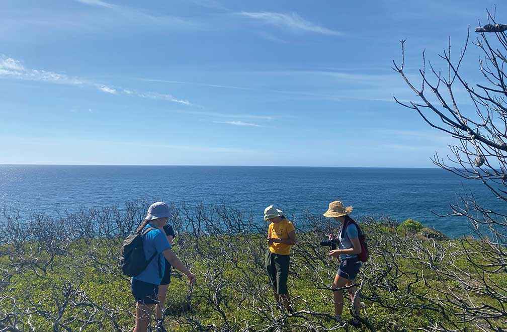
Above: Using mobiles in the field at Croajingolong National Park on Bidawal Country.
I encourage all new users to give these apps a go. They have made our project on threatened butterfly communities after the bushfires possible, and it was all the richer because of the contribution from the community. The first landscape-scale butterfly survey in Far East Gippsland for more than 30 years was completed one user and one record at a time.
Em Dale (they/them) is a Threatened Species Ecologist with the Threatened Species Conservancy with more than 10 year’s experience in conservation ecology and threatened species management.
For more information email em.dale@tsconservancy.org
The work in this piece was undertaken on Gunaikurnai (Krauatungalung, Brabalung and Brayakaulung), Jaitmathand, Dhudoroa, Ngarigo, Bidawal and Wolgol Country.